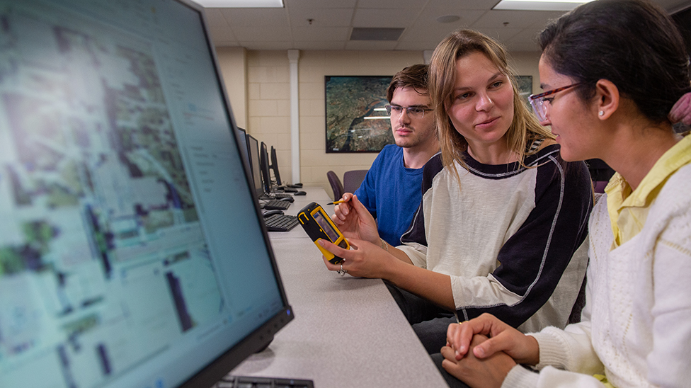
Geographic Information Science
The Geographic Information Science program provides a cost-effective educational option for students who are seeking a higher degree in GISc. The program offers comprehensive courses on geographic information systems, remote sensing, GPS and UAV mapping, spatial analysis, geospatial modeling and simulation, web mapping, geodatabase, programming, transportation analysis, and more. Our graduates will enhance their skills and can utilize geospatial technologies to solve real-world problems.
Careers in Geographic Information Science
The Geographic Information Science program equips graduates with the skills to excel in diverse careers such as agriculture analyst, cartographer, city/regional planner, demographer, conservationist, educator, GIS technician, hydrologist, and soil scientist.- GIS Analyst
- GIS Developer
- Cartographer
- Urban and Regional Planner
Potential Salary
Median Salary $90,880
Geographic Information Science Degrees at MSU
Geographic Information Science, Certificate
The Certificate in Geographic Information Science (GISc) integrates technologies like Remote Sensing, GIS, GPS, and associated techniques, introducing foundational concepts and principles of geospatial information collection, management, and analysis. This program ensures students have a solid theoretical understanding and can apply these techniques to analyze real-world issues.
Geographic Information Science, Master of Science
The master's in GISc integrates the geospatial technologies of geographic information systems, remote sensing, and global positioning systems (GPS) with the professional skills of technical communications, project management, human resource management, and budgeting and economics in the workplace. In addition to core courses, students also can take elective courses related to their area of interest.
- This program is closed for admissions, effective for fall 2025, and will merge into the Applied Geosciences & Anthropology, MS. Please contact the Graduate Studies Office with any questions, (grad@mnsu.edu).
Geographic Information Science, Graduate Certificate
The program is designed for students and professionals seeking to advance their knowledge in geospatial sciences, providing essential exposure to geospatial data, concepts, methods, tools, models, and programming to evaluate issues and develop effective action plans.
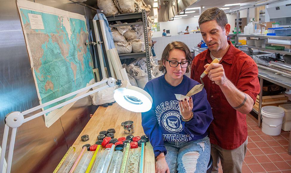
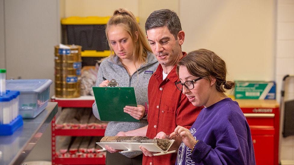
EARTH Systems Lab
An interdisciplinary research and teaching space blending the fields of Geography, Earth Science, Anthropology, and Archeology for innovative scientific research.
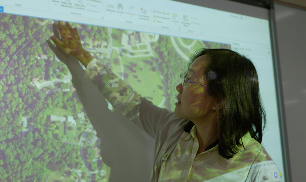
GIS & Cartography Labs
Our GIS facilities feature a GIS lab with 27 high-end computers and a cartography lab with 14 high-end computers, UAVs, and GPS hardware along with complete suites of software featuring ArcGIS and ArcGIS Pro, ENVI, Pix4d, TransCAD, GPS Pathfinder Office, TerraSync, TerraFlex, Trimble Planning, Adobe Creative Suite, and SPSS. The GIS Lab is dedicated to Geographic Information Science (GISc) with emphasis on geospatial and locational analyses and modeling.
Learn More
Archeology, Geography, and Earth Sciences (AGES) Club
The AGES Club offers students in archeology, geography, and earth sciences opportunities for field experiences, training, and networking. We support academic and professional development and welcome all students, regardless of their background or level of interest.
Related Programs
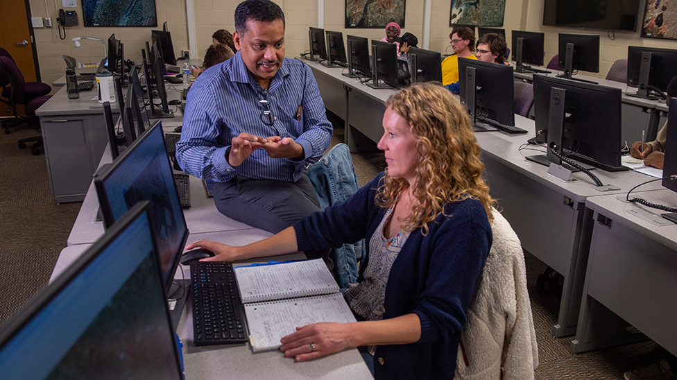
Geography
Geography studies the interactions between people and our environment, and it uses cutting-edge geospatial technologies to solve real-world problems. Geospatial technologies equip students with high-demand skills for the workforce.
Earth Science
Earth Systems Science is a STEM field that utilizes our understanding of the various interconnected systems on Earth to address major environment problems of our time.

Urban and Regional Studies
Urban and Regional Studies is an interdisciplinary approach toward examining and understanding the broad range of problems and challenges associated with the nation's cities and regional areas. There are many career opportunities in community development, urban/regional planning, local government, and local government management.

Geospatial
Geospatial Science utilizes digital technologies such as Geographic Information Systems (GIS), remote sensing, and Global Positioning Systems (GPS) to solve geographic problems related to environmental analysis, land use change, urban planning, transportation modeling, geospatial intelligence, and logistics.
Department of Geographic Information Science
College of
Humanities and Social Sciences
The College of Humanities and Social Sciences is an inclusive community of diverse learners seeking to examine, engage with and transform the social world while nurturing creativity and innovation. Our programs build a foundation of knowledge that adapts to a constantly changing society.
Learn More About the College of Humanities and Social Sciences
